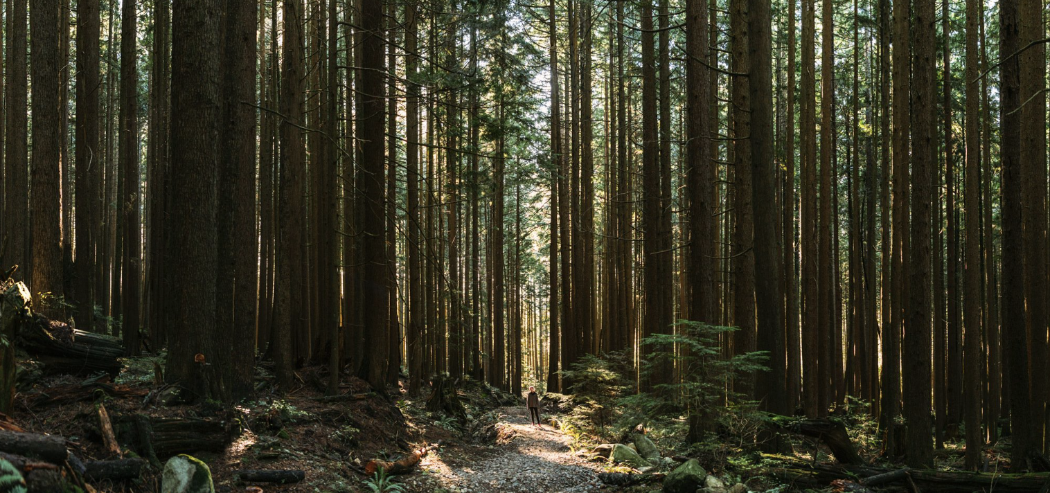
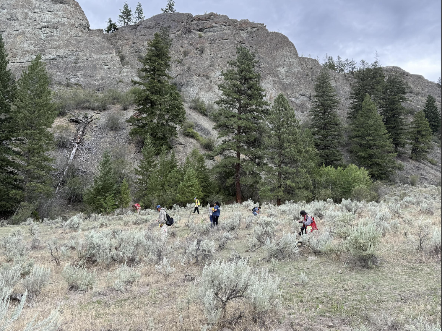
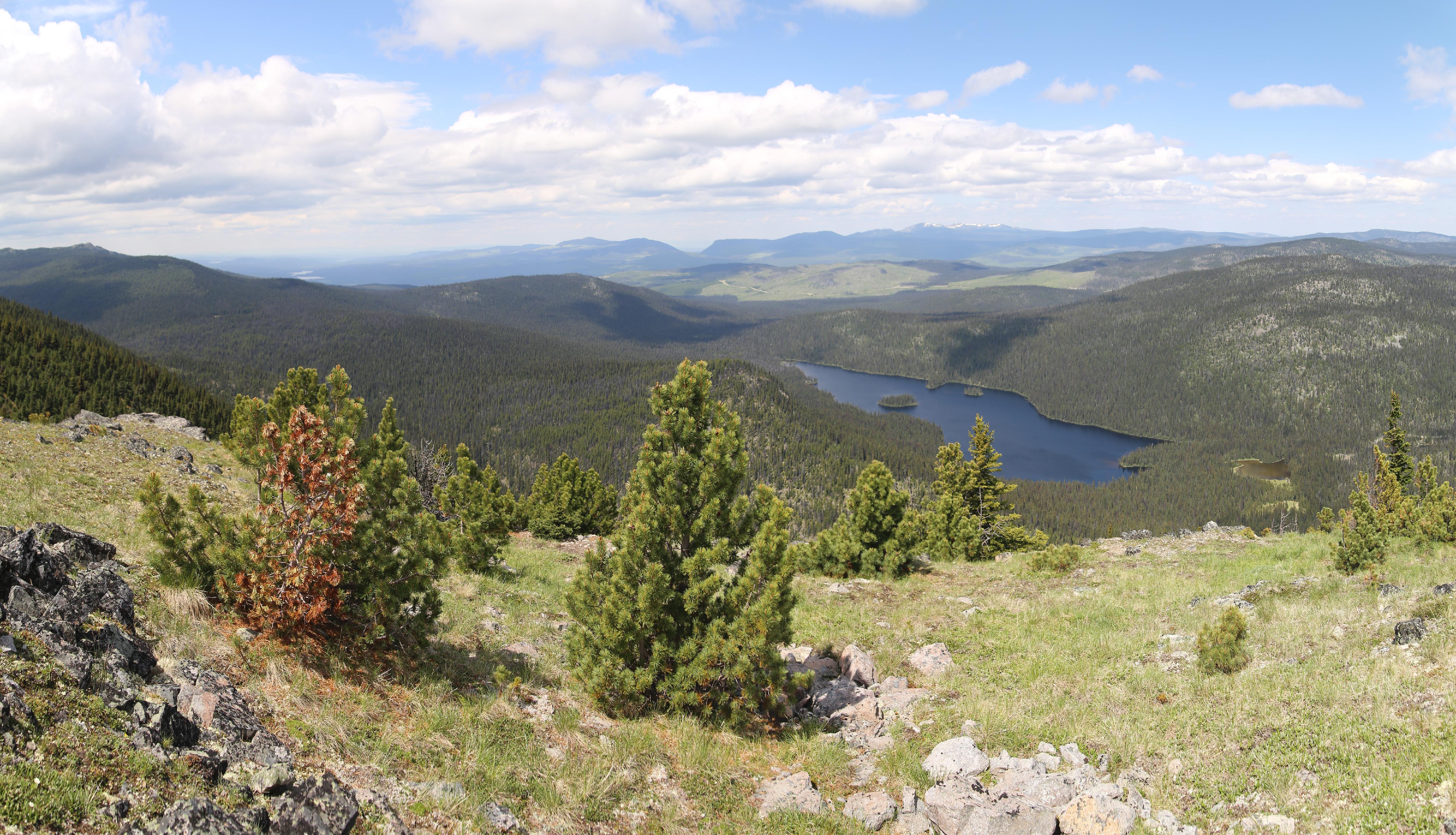
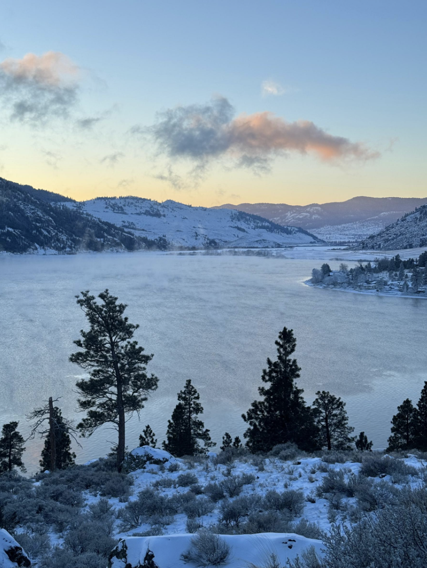
Explore conservation projects supported by the BC Conservation Fund, from Indigenous-led area-based conservation initiatives to biodiversity identification efforts that help protect nature across British Columbia. Browse projects below or explore the interactive map to learn more.
These Indigenous-led projects aim to protect ecologically and biologically important areas. Projects are assessed using the following criteria:
• Contribution to 30x30 targets (applicable for phase 1-3 projects)
• Biological, climate and cultural importance (applicable for phase 1-3 projects)
• First Nations leadership (applicable for phase 1-3 projects)
• Supported by government to government planning and agreement (applicable for phase 2 projects)
• Durable, long-term stewardship (applicable for phase 3 projects)
This phase focuses on building community readiness: engaging members, gathering baseline data, and developing a shared vision for conserving priority areas. It lays the groundwork for Nations to enter government‑to‑government planning with clear mandates, partnerships, and identified capacity needs.
2 years

1 year
1 year

2 years
2 years

1 year
2 years

2 years
1 year
2.5 years

2 years

1 year

1 year

2 years

2 years

2 years
This phase supports the technical and relational work required to reach conservation designation agreements, including government-to-government negotiations, scenario modelling, stewardship planning, legal work, and public or stakeholder engagement. The goal is to establish durable conservation designations* that meet international standards and advance First Nations governance or co‑governance.
BC Parks Foundation has no control over provincial decisions and is not responsible for whether or not the Province of BC and the First Nation(s) reach agreement to designate an area for conservation.

3 years

2 years
2 years

3 years

5 years

2 years

1.5 years
This phase invests in the planning and long‑term stewardship needed to care for newly conserved lands. It strengthens guardian programs, monitoring, restoration efforts, and the sharing of cultural and ecological knowledge across generations. Through dedicated endowment funds, communities gain lasting capacity, supporting healthy ecosystems, stable stewardship jobs, and long‑term community well‑being as conservation goals are achieved over time.
BC Parks Foundation has no control over provincial decisions and is not responsible for whether or not the Province of BC and the First Nation(s) reach agreement to designate an area for conservation.

2 years
0
2 years

0

1 year
2 years

2 years
All projects are reviewed by the BC Conservation Oversight Committee, a diverse group of experts passionate about conservation, half of whom are Indigenous.
** Plus a commitment to endowment funding upon designation of the area under First Nation and Crown law.
The BC Conservation Fund is improving how we understand and protect biodiversity across the province. This work strengthens access to high‑quality data, enhances tools for identifying key ecological areas, and deepens insight into the pressures facing species and habitats.
Together, these advances support smarter, more targeted conservation actions that help safeguard biodiversity and build climate resilience.

The BC Seed Bank for Rare and Culturally Important Plants aims to protect the unique genetic and species diversity of BC’s native plants by collecting seeds and securely storing them in off-site (ex-situ) cold storage. It safeguards biodiversity while supporting a network of community groups, conservation organizations and First Nations interested in stewardship, research, restoration, and collaboration for plant conservation. The BC Seed Bank is an initiative spearheaded by Nupqu Native Plant Nursery, the Ministry of Water, Land and Resource Stewardship, UBC Botanical Gardens, and the Coastal Douglas-fir Conservation Partnership that supports a larger network of First Nations, academia, government and industry.
The Biodiversity Atlas will provide mapping layers for First Nations and local government representatives to use when making landscape level planning decisions. The focus area for the Atlas will be the southwest coast because it supports the highest number of species and ecosystems at risk of all the ecoregions in BC; 75% of BC population live in the study area leading to high demand for housing / development pressures, the area also has some of the most productive forestry in BC and >1% of old growth forest (CDFmm) remaining. The project aims to facilitate the acceleration of climate adaptation and the protection of biodiversity by providing information to inform the forest landscape planning tables, land protection and the land use plans being developed by local governments and First Nations. It is available for use by conservation groups and the general public.
British Columbia presently lacks an independent and neutral assessment of the locations of biodiversity hotspots, and the scale of habitat restoration needed to safeguard biodiversity over the coming century.
This project seeks to fill an important gap in our understanding of where priority biodiversity areas are. Without this crucial information, key economic and policy decisions are being made cumulatively at local scales using logic which permits industrial exploitation wherever inventory or risk assessment data are insufficient, leading to an increase in resource extraction and a decline in biodiversity. The analyses aim to furnish decision makers with tools placing the importance of any single hectare of land in context to its potential contribution to the larger scale of biodiversity conservation.
Through this project, B.C. Nature will work closely with Indigenous communities and other partners across the province to develop new monitoring models to identify new Key Biodiversity Areas (KBAs) and track population trends for key species within KBAs. The project aims to support the submission of at least 60 well-reviewed KBA proposals to national and global committees, as part of a larger initiative to map KBAs provincially with Wildlife Conservation Society Canada.
An invasive species management toolkit will be developed to support effective area-based conservation and stewardship. Use of this toolkit will give land managers a baseline understanding of invasive species at their site, how invasives interact with native biodiversity and culturally significant species, and the key pathways of introduction. The Invasive Species Management Plan emerging from the process outlined in the toolkit will support conservation managers to prioritize their efforts to effectively and efficiently close pathways of introduction and spread and secure support for their work. Increased provincial data on invasive species is an additional benefit.
Biodiversity observation work in BC is often piecemeal, difficult to access, and difficult to combine for quantitative assessment. This program will create fit-for-purpose data integration pipelines and novel outputs focussed on terrestrial vertebrate and plant biodiversity in BC and will build on our existing efforts to build a community of practice to enable a more effective network for biodiversity observation in BC. This network and integration strategy will better support public engagement and guide decision-making.
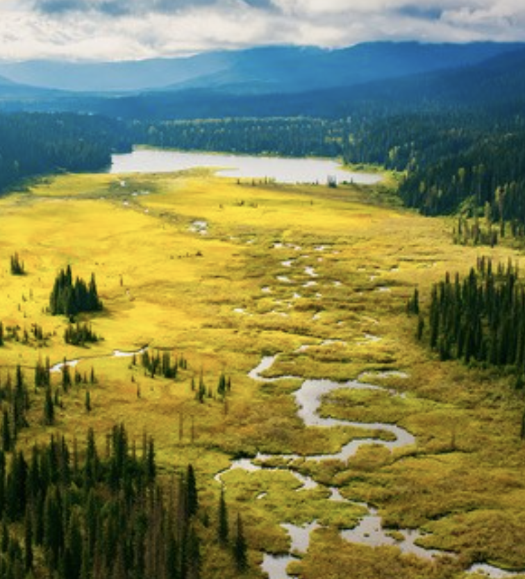
Grasslands are rare and ecologically significant ecosystems in BC which are being rapidly lost due to human development, forest encroachment, and other threats. This project will provide significant updates to mapping of BC’s grasslands, working on the only province-wide mapping of the location and extent of BC’s grasslands. The existing layer is not sufficiently accurate as it was built heavily on open range polygons identified from provincial forest cover mapping and a limited amount of image interpretation from air photographs. The project will refine grassland boundaries to include high elevation grasslands in the Elk Valley, grassland pockets within dry forests, and other areas that were missed in the existing later as well as indicate grassland losses since 2015.
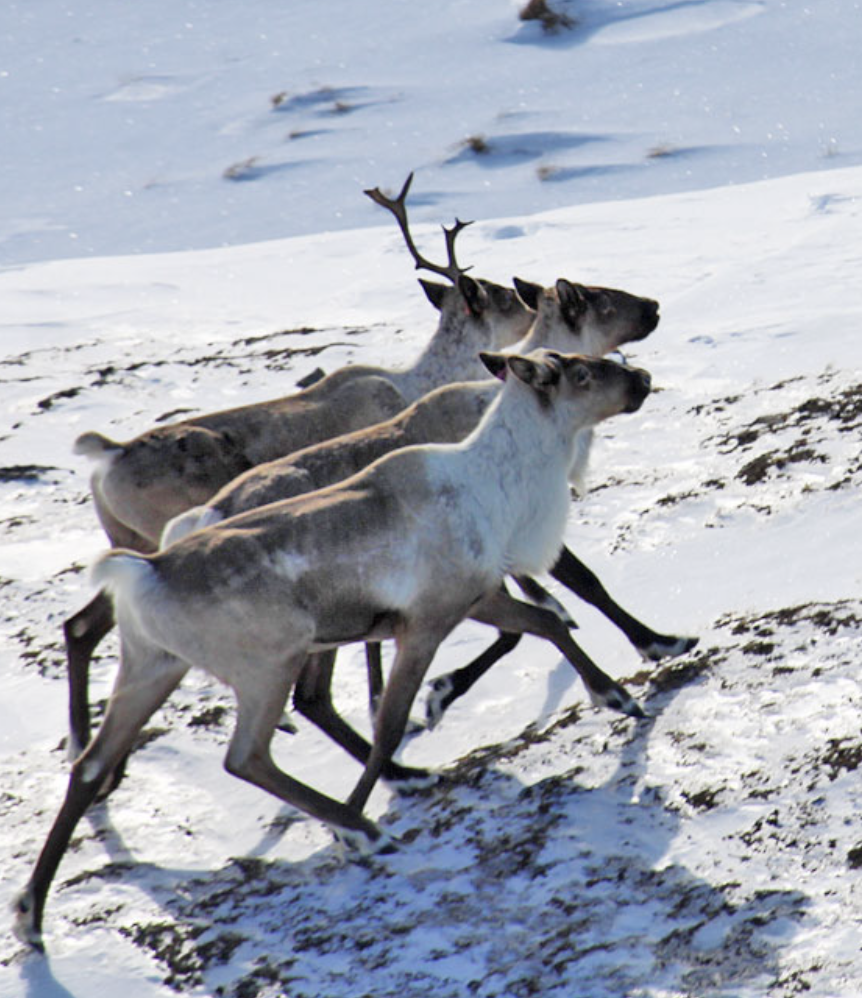
This project will identify priority ecological corridors that connect conserved and protected areas in the Thompson Okanagan region, which is home to 175 provincially listed species at risk. The corridors will support wildlife movement, reduce extinction risk and maintain functional ecosystems. The outputs will include data, best practices and policy to inform decision-making for all levels of government, directly advancing identification of biodiversity needs, pressures and priority areas.
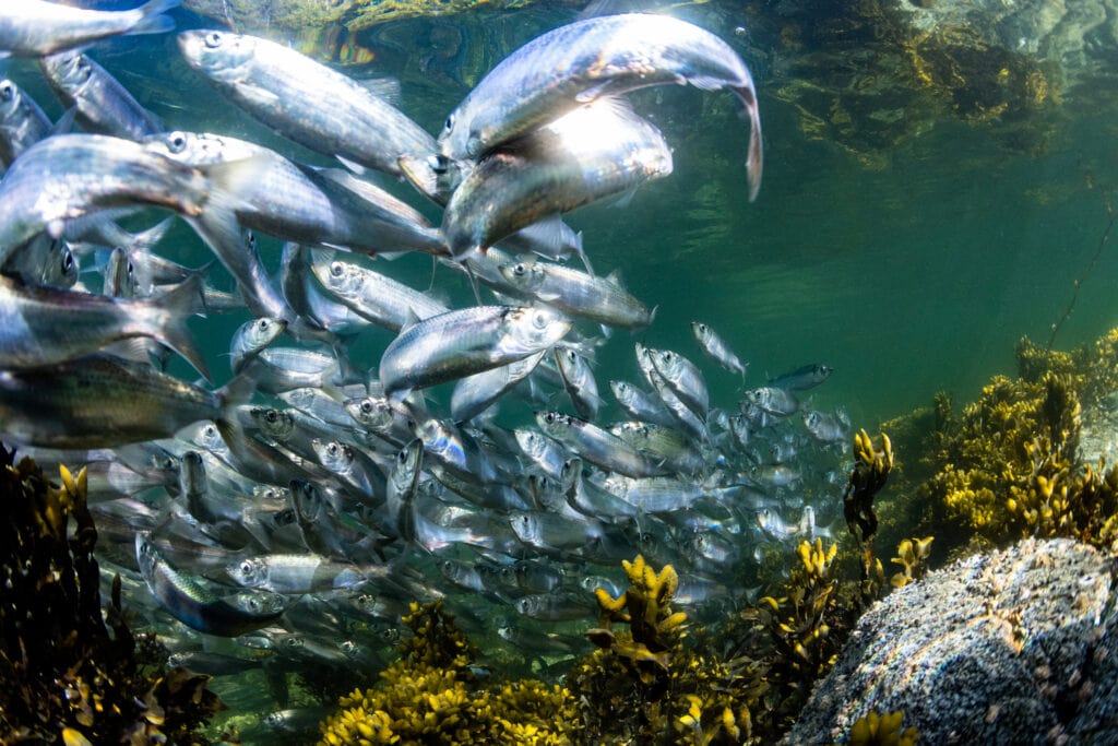
A critical missing piece in bird conservation in BC is the lack of large, specific sections of data. These are necessary for a synthesis of available datasets to identify priority areas for birds, and analysis of the current threats and vulnerabilities (e.g., industrial threats, lack of area-based protection) facing these areas. This major gap in data synthesis and analysis is needed to guide effective and targeted conservation action by key stakeholders (policy makers, land managers, regulatory agencies, industry) in BC. Birds Canada and its partners will undertake this project at a provincial scale and provide the foundational data and analysis to inform priority needs, threats, and areas for conservation.
Phytodiversity documentation in BC is highly skewed geographically, possibly skewing conservation effort across the province. We aim to detect regional deficits in vascular plant, bryophyte, and lichen biodiversity.
The identification of climate-change refugia—i.e., areas that are relatively buffered from the effects of climate change—is central to the identification of priorities for biodiversity conservation in a changing climate. To inform conservation planning decisions at local and regional scales, we need to map and understand both regional climate strongholds (“macrorefugia”) where large area conservation will be most effective; and locally resistant holdouts ("microrefugia"), where smaller conservation investments can provide stepping stones for shifting species distributions. To aid in this, we have developed a climate-informed conservation planning approach that involves a systematic ranking of conservation priorities for identified biodiversity values in a changing climate. Using this approach, preliminary province-wide rankings using a large number of original and existing metrics of microrefugia, microrefugia, and climate connectivity have been developed. With guidance from Indigenous communities, the approach has also been replicated at regional scales as part of BC’s modernized land-use planning process.
This province-wide project will develop the Wetland Ecosystem Services Protocol, a tool to assess wetland function to aid with wetland management decisions in the province. This project will train, government staff, First Nations, other NGOs, and industry partners to use the WESP to assess wetland function, which can be used to compare the value of wetlands and identify conservation opportunities across the province for effective targeted conservation actions.
In partnership with local Indigenous communities, stewardship groups, and regional and provincial governments, Living Lakes Canada and the Okanagan Indian Band will collaboratively lead Foreshore Integrated Management Planning (FIMP) surveys on Wood, Kalamalka, and Okanagan Lakes. FIMP works to protect biodiversity by improving both the quality and quantity of information about shoreline habitat that supports a diverse range of wildlife and aquatic species while identifying priority areas for conservation and restoration. Taking a Two-Eyed Seeing approach, this project will support the inventory, assessment, and mapping of cultural, archaeological, and ecological shoreline values.
WCS Canada will collaborate with the BC government and the BC Conservation Data Centre (CDC), to advance ecosystem Key Biodiversity Area (KBA) identification in BC. This work will include translating provincial classifications to the national and global classification systems for KBA assessment, filling gaps in mapping and determining where and for which ecosystem types KBAs can be identified. The project will generate publicly accessible biodiversity data that contribute to the Draft Biodiversity and Ecosystem Health Framework, informing decisions like protected area designations, Indigenous-led conservation, and land use planning. This will also enable WCS Canada to move forward on work identified through an existing collaboration with the Government of BC, particularly the BC Conservation Data Centre (CDC). By leveraging CDC data and applying the KBA criteria, the project will significantly enhance the capacity of both organizations to collaborate on the urgent task of identifying ecosystem KBAs in BC—a critical need given the escalating threats to ecosystems locally, nationally, and globally.
The Mother Tree Network is working with First Nations around BC to collect data and support forest conservation decision-making and forest stewardship planning. This project will fill provincial scale knowledge and analytical gaps, providing a better understanding of the impacts of specific forest management activities on biodiversity and above- and below-ground carbon in various ecosystems in BC. That data will support the creation of a set of principles that will help FNs and others to identify and prioritize areas for protection, restoration, and possible selective harvest, in alignment with ongoing provincial-level work supported through the BC Conservation Fund to identify priority conservation areas. Once developed and piloted, the community-based planning model will provide a process and tools for BC FNs to adapt and use, along with their Indigenous knowledge and community values, to make forest conservation, stewardship, and economic decisions in their territories.
Stream 3 will focus on education and collaboration.
Ch’nook Indigenous Business Education (Ch’nook) at the UBC Sauder School of Business is a pilot program that equips Indigenous communities with essential project and financial management skills to successfully establish and manage large-scale area-based conservation projects. Through a combination of in-person workshops, technical training, and online learning, participants will gain tools, strategies, and connections to navigate the complexities of project execution while advancing the ecological and cultural goals of their Indigenous-led conservation initiatives.
Learning by Nature is a unique Provincial-Federal-Private partnership to support world class nature education and grow a culture of stewardship across BC. Nature spaces on school grounds create equitable access to nearby nature for students, teachers and communities across BC, where they can learn about biodiversity and the critical role of protected areas.


